
As of January 2026, we are witnessing a critical “changing of the guard” in the Pacific Ocean. The La Niña conditions that have influenced global weather over the past year are rapidly collapsing, paving the way for a transition to ENSO-neutral conditions by spring and a likely shift toward El Niño by late 2026.
The El Niño-Southern Oscillation (ENSO) is the planet’s most powerful climate driver, acting as a global thermostat that dictates where rain falls and where heat settles.
1. The Global Seesaw: El Niño vs. La Niña
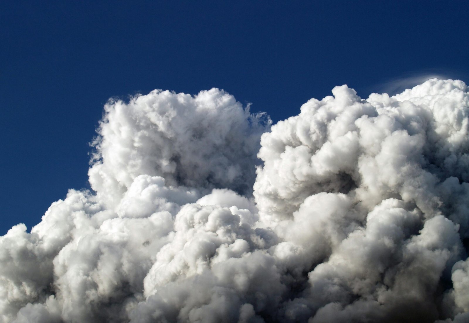
Think of ENSO as a giant sloshing of warm water across the equatorial Pacific.
- La Niña (The Cold Phase): Strong trade winds push warm water toward Asia and Australia, while cold water wells up near South America.
- 2026 Status: Currently “dying.” It has left a legacy of worsening drought in the Southern U.S. and heavy rainfall in parts of Southeast Asia and Australia.
- El Niño (The Warm Phase): Trade winds weaken, allowing that warm water to slosh back toward the Americas.
- 2026 Outlook: A “westerly wind burst” is currently pushing subsurface warmth eastward. Models suggest a 50-60% chance of a full El Niño developing by the end of 2026.
2. Why Climate Change “Turbocharges” ENSO
In a stable climate, these cycles act as a natural balance. However, rising global temperatures are making both phases more extreme—a phenomenon scientists call “ENSO Amplitude Increase.”
- Extreme Rainfall: Because a warmer atmosphere holds more moisture, the “wet” areas of a La Niña or El Niño cycle now experience record-breaking floods (e.g., the 2025-26 floods in the Pacific Northwest).
- Record-Breaking Heat: El Niño years typically add a “bump” to global temperatures. If 2026 shifts into a strong El Niño, it could challenge 2024 for the title of the hottest year on record, despite 2025 being slightly cooler.
- Faster Transitions: We are seeing “whiplash” events where the Pacific flips from extreme cold (La Niña) to extreme heat (El Niño) much faster than in the 20th century, giving ecosystems and farmers less time to adapt.
3. Predicted 2026 Impacts of the Shift
As the current La Niña dissipates and neutral/El Niño conditions emerge, we expect the following shifts:
| Region | Transition Impact (Mid-to-Late 2026) |
| Southern USA | Shift from extreme drought to much-needed (and potentially flooding) rainfall. |
| Australia | Transition from wet/stormy weather to drier, hotter conditions with increased bushfire risk. |
| Southeast Asia | Increased risk of drought and “haze” events as rainfall patterns move east. |
| Atlantic Ocean | El Niño usually suppresses hurricanes by creating “wind shear” that rips storms apart. |
Critical Note: Even “neutral” years are now hotter than the El Niño years of the 1990s. The “floor” of global temperature has been permanently raised.
4. The 2026 “Water Sync” Discovery
New research published this month (January 2026) using satellite data reveals that ENSO is now making water extremes “move in sync” globally. Before 2011, wet and dry extremes were somewhat scattered; now, when the Pacific flips, the entire world’s water storage—from aquifers in Africa to snowpack in the Andes—reacts in a much more synchronized and violent fashion.